In March 2024 representatives for 13 nations boarding the Atlantic met in Aveiro Portugal, under the auspices of the Challenger 150 UN Ocean Decade Programme, to draw up a plan to develop the most advanced maps of the distribution and abundance of key deep-sea species and habitats to support area-based management of the deep ocean. Development of such models demands visual observations from across the full range of environmental conditions that occur in the Atlantic. The group brought together information on existing visual observations that are already available for use in such an endeavour. The result is a database of 9051 deployments made throughout the Atlantic basin providing an estimated 24,643 hrs of video footage, of which less than 50% has been analysed. However, there are clear gaps in the range of environmental conditions sampled, particularly in the Central and South Atlantic.
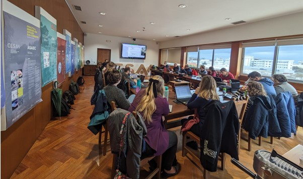
Representatives from 13 nations boarding the Atlantic discuss a plan to map Atlantic deep-sea life
Taking a pragmatic approach and using historical observation effort as an indicator, we have calculated that 1,635 and 600 new visual observations are likely to be possible in the North Atlantic, and Central and South Atlantic regions respectively, between now and the end of 2028. In an ideal world those deployments would be spread out across environmental gradients (Fig 1). But logistically this is difficult and unlikely to occur.
So, in a complementary approach, we have divided the seafloor up into environmental envelopes (classes), areas within which environmental conditions are similar and between which they differ (Fig 2a). We have then identified those classes that are very poorly sampled (Fig 2b). We have then looked for regions where a single research cruise could have the most impact, by making observations in multiple very poorly-sampled classes.
Figure 1: A conditioned Latin Hypercube Analysis (cLHS) on the environmental data assuming an additional 1,635 new deployments from 38 cruises in the 'North', and 600 new deployments from 30 cruises in the 'Central and South' are likely achievable and accessible by 2028. Pink dots show existing observations, purple dots show ideal new observations.
Figure 2: Existing observations shown on a) an Atlantic seafloor classified into environmental envelopes, where each class has a distinct set of environmental conditions (e.g. temperature, salinity, topography, etc). b) classes of seafloor with fewer than 3 observations (dark blue areas).
The result is a map indicating priority areas for research cruises under the Ocean Decade where visual data needs to be collected (Fig 3).
Figure 3: a) Areas of the Atlantic where a single research cruise could provide the biggest impact in terms of making new observations in distinct environmental envelopes (classes). Dark pink circles are areas where >10 classes could be observed in a single research cruise. All pink circles provide an example set of research cruises that collectively capture very poorly sampled habitat types. b) inset showing the detail of existing observations and proposed habitat classes captured by high-impact research cruises off South America.
It is important to note that identification of these areas as a priority in no way suggests other areas do not need additional observational data. Deep-ocean biodiversity is poorly known in all regions. It is intended to help support those organisations who have the means to deploy vessels, to understand where their efforts could best be directed.
Can you help? We are looking for additional visual data, cruises to priority areas, and additional funding to support this work. Get on touch with our working group leads.